

A Winter Weather Advisory is in effect for all of southeast Michigan until 10 AM Tuesday. Heavy snow showers, gusty winds, and dangerously cold wind chills are here and will last.
Watch the full forecast below
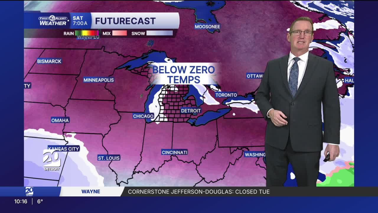
A Winter Weather Advisory is in effect for snow showers, gusty winds, and below-zero wind chills. The coldest temp in years will be here this weekend and wind chills could reach -25° Saturday morning.
Temperatures will continue to slide this evening. Strong west winds 20-25 mph, with gusts near 35 mph, will keep wind chills 0° to -5°. Layer up and protect as much skin as you can in these conditions if you go outside.
Temperatures bottom out Tuesday morning in the low to mid single digits. Winds will be out of the west 10-20 mph, causing wind chills to be -5° to -15°. Highs Tuesday will be in the mid to upper teens, but feel more like 0° to -5° when factoring in the winds. Some lake effect snow showers are possible Tuesday morning with little accumulation.
Another winter storm moves in Tuesday night and Wednesday bringing snow across Metro Detroit. Most areas should get 1"-2" with a few spots up to 3" possible north of Detroit. Leftovers of that storm could bring another 1"-2" Wednesday night through Thursday.
Looking ahead towards the weekend? Temperatures will be even colder with morning lows below zero and highs in the single digits. 7° Below zero is the forecast low on Saturday. If we get that cold it will be the coldest temperature in Detroit in the last 7 years!
Tonight: A few more snow showers are possible, especially north of Detroit. Watch for slick spots there. Lows in the single digits. Wind chills in the 5° to 15° below range. Winds: WSW 10-20 mph.
Tuesday: A little sun is possible from time to time, but it won't help temps rise much. There is a slight chance for a snow shower. Highs in the low to mid teens. Wind chills will be from 0° to -5° Winds: SW 10-25 mph.
Wednesday: Snow is expected and should be most widespread in the first half of the day. 1"-2" covers most areas. Highs will be in the low 30s. Winds: SW 15-30 mph.
Connect with 7 First Alert Meteorologists on Facebook and X:
Facebook: Dave Rexroth , Hally Vogel, Marisa Woloszyn, Mike Taylor
X: Dave Rexroth , Hally Vogel, Marisa Woloszyn, Mike Taylor
Current Conditions
- Humidity: 39%
- Dew point: 59°
- Pressure: 29.96 in
- Wind speed: 11 mph
- Wind direction: NNW
- Visibility: 10.0 mi
- Sunrise: 06:23 AM
- Sunset: 08:54 PM
