

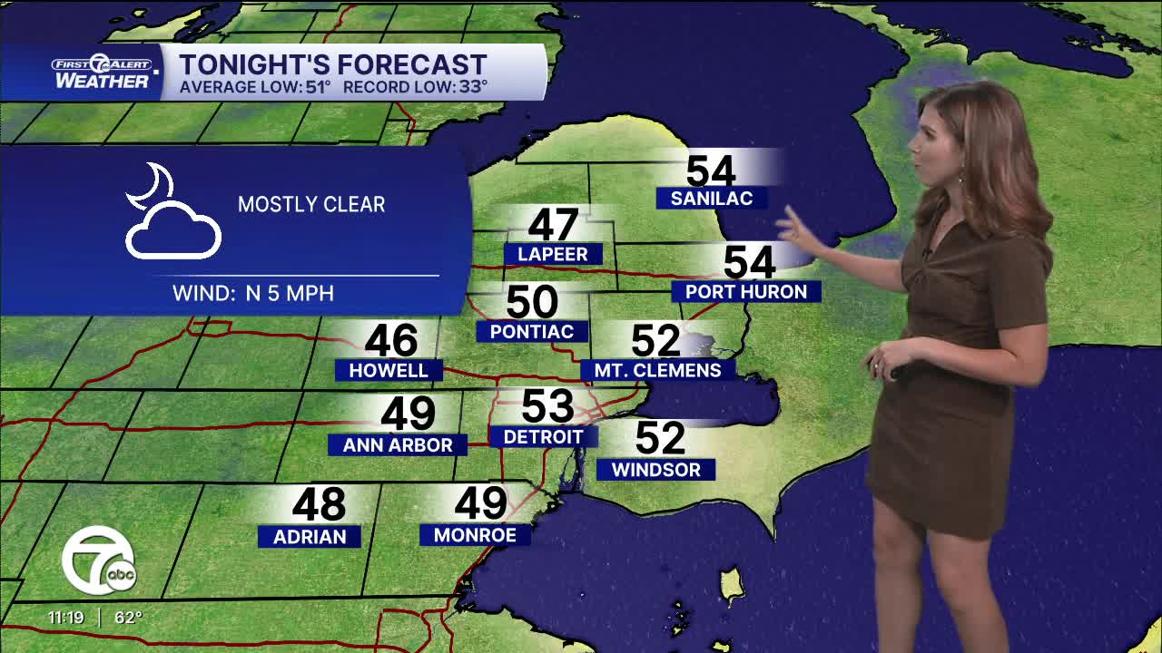


High pressure will continue to bring quiet weather into the workweek. Monday and Tuesday will both have plenty of sunshine and highs peaking in the mid 70s, 5° above average. Some areas will start off with fog, but most of southeast Michigan will start will clear skies. Morning lows will be in the upper 40s and low 50s.
Changes begin Wednesday as the high pressure begins to breakdown and a storm system moves in from the west-southwest. Clouds will increase throughout the day, with a rain chance, mainly north, late. High temperatures peak in the mid to upper 70s.
Rain chances increase Thursday across the area and continue through Friday morning. Overall rainfall will be up to 1/2". As the rain ends Friday morning from northwest to southeast, skies will gradually become mostly sunny again. High temperatures will go from the upper 70s Thursday to the mid 60s Friday.
More sunshine is expected next weekend, but with cooler temperatures as highs stay in the mid 60s.
Tonight: Mostly clear. Lows in the upper 40s to low 50s. Winds: N 5 mph.
Monday: Patchy fog, then sunny. Highs in the mid 70s. Wind: N 5-10 mph.
Tuesday: Patchy fog, then mostly sunny. Highs in the mid 70s. Winds: Light.
Connect with 7 First Alert Meteorologists on Facebook and X:
Facebook: Dave Rexroth , Hally Vogel, Marisa Woloszyn, Mike Taylor
X: Dave Rexroth , Hally Vogel, Marisa Woloszyn, Mike Taylor
Current Conditions
- Humidity: 38%
- Dew point: 41°
- Pressure: 30.17 in
- Wind speed: 5 mph
- Wind direction: SW
- Visibility: 10.0 mi
- Sunrise: 07:39 AM
- Sunset: 07:00 PM
