

Clouds increase overnight and into the first part of Wednesday as a storm system passes to our north. A trailing cold front will bring a few showers in the afternoon. Highs climb to around 60° ahead of the front with westerly winds 20-35 mph.
Temperatures will be cooler behind the front Thursday with morning lows near freezing (32°) and afternoon highs in the low 50s. Skies will be mostly sunny.
Steadier rain arrives Friday morning with a few showers continuing into the afternoon. Highs peak in the mid to upper 50s.
Colder air filters in this weekend bringing highs into the 40s and lows close to, and below, freezing. Showers chances continue, with snowflakes mixing in Sunday and Monday.
Watch the full forecast
Tonight: Clouds increase with lows in the mid 40s. Winds: S 5-15 mph.
Wednesday: Mostly cloudy with a rain chance mostly in the afternoon, especially north of Detroit. Highs around 60° with 61° in Detroit. Winds SW to NW 20-35 mph.
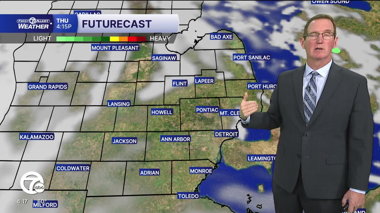
Thursday: Mostly sunny with highs in the low 50s and 53° in Detroit. Winds: W 5-10 mph.
Connect with 7 First Alert Meteorologists on Facebook and X:
Facebook: Dave Rexroth , Hally Vogel, Marisa Woloszyn, Mike Taylor
X: Dave Rexroth , Hally Vogel, Marisa Woloszyn, Mike Taylor
Current Conditions
- Humidity: 37%
- Dew point: 58°
- Pressure: 29.94 in
- Wind speed: 9 mph
- Wind direction: NNW
- Visibility: 10.0 mi
- Sunrise: 06:23 AM
- Sunset: 08:54 PM
