

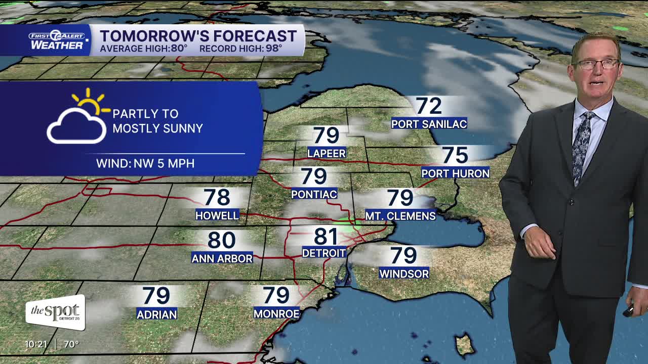


Partly to mostly cloudy skies early this evening that gradually become mostly clear into tonight. Temperatures continue to fall into the mid 50s by sunrise Tuesday. Tomorrow is a nice day with a cool start, but enough sun to get us back near 80° by late afternoon.
Watch the forecast below
Clouds gradually increase Wednesday before our next rain and storm chance Wednesday evening/night. There is a marginal risk for severe storms during this time, meaning an isolated severe storm is possible. Strong wind would be the problem. A few showers could continue into Thursday morning, with a few more possibly developing in the late afternoon. Highs climb into the low 80s both days.
Drier weather returns for Friday and into the first part of next weekend. High temperatures stay around 80°. Rain chances increase Sunday into Monday, with highs climbing a few more degrees into the mid 80s.
Tonight: Mostly clear south and slow clearing north. Lows in the mid 50s but 58° in Detroit. Winds: NW Light.
Tuesday: Partly to mostly sunny with highs near 80°. Winds: NW 5-10 mph.
Wednesday: Partly sunny with an evening storm chance. An isolated storm could have strong winds. Highs in the low 80s.
Connect with 7 First Alert Meteorologists on Facebook and X:
Facebook: Dave Rexroth , Hally Vogel, Marisa Woloszyn, Mike Taylor
X: Dave Rexroth , Hally Vogel, Marisa Woloszyn, Mike Taylor
Current Conditions
- Humidity: 65%
- Dew point: 45°
- Pressure: 30.22 in
- Wind speed: 2 mph
- Wind direction: NNE
- Visibility: 10.0 mi
- Sunrise: 07:39 AM
- Sunset: 07:00 PM
