

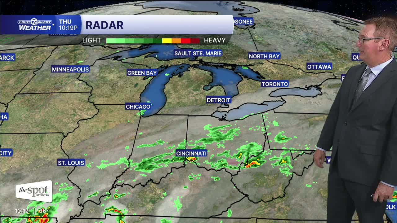


Clouds will give way to a clearing sky overnight. There could be spots of fog. The most likely areas for any fog will be in the thumb and southwest of Detroit in Lenawee, Monroe, and Washtenaw counties. Friday looks mostly sunny and very pleasant with highs in the upper 70s. The weekend will be mostly dry.
The extended forecast features a warmer weekend. Friday reaches around 79° with sunshine followed by a warmer Saturday near 82°. There is a slight chance of an isolated rain shower from midday through the afternoon. Most areas will stay dry on Saturday. More shower and thunderstorm chances return with a 40% chance on Tuesday as highs climb into the low to mid 80s. There could be a little thunder as well.
Tonight: A few clouds, spotty fog. Lows in the low to mid 50s and near 58 in Detroit. Winds: N Light.
Friday: Mostly sunny with a drier feel with highs in the upper 70s. Winds: ESE 5-10 mph.
Saturday: Partly sunny and mostly dry. There is only a slight chance for an isolated shower around midday and into the afternoon. Most areas will stay dry. Highs will end up in the low 80s. Winds: S 10-15 mph.
Connect with 7 First Alert Meteorologists on Facebook and X:
Facebook: Dave Rexroth , Hally Vogel, Marisa Woloszyn, Mike Taylor
X: Dave Rexroth , Hally Vogel, Marisa Woloszyn, Mike Taylor
Current Conditions
- Humidity: 47%
- Dew point: 47°
- Pressure: 30.42 in
- Wind speed: 7 mph
- Wind direction: SSW
- Visibility: 10.0 mi
- Sunrise: 07:58 AM
- Sunset: 06:35 PM
