

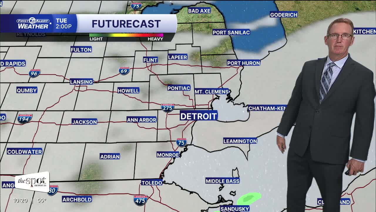


Breaks in the clouds tonight will make for a chilly start Tuesday. A slight shower chance will be nearest the Ohio border Tue. night and Wed. High temps will run 10° below average through midweek.
High temperatures peak in the low 60s and lows in the 40s to low 50s with breezy northeast winds 10-15 mph, gusts 20-25 mph.
This is perfect timing for the fall feel as Astronomical Fall begins on Tuesday at 8:05 p.m. Most of the week will be dry with just a small rain chance late Tuesday night and Wednesday. Warmer weather returns by next weekend, with highs in the low 70s.... hopefully.
CHECK OUT THE FULL FORECAST:
Tonight: Partly to mostly cloudy. Lows in the mid to upper 40s north of Detroit and closer to 50° in Detroit and areas south. Winds: NE 10-20 mph.
Tuesday: Partly to mostly cloudy with highs in the low to mid 60s including 64° in Detroit. Winds: NE 15-25 mph.
Wednesday: Mostly cloudy with a slight shower chance south during the morning. Highs in the low to mid 60s. Winds: NE 15-25 mph.
Connect with 7 First Alert Meteorologists on Facebook and X:
Facebook: Dave Rexroth , Hally Vogel, Marisa Woloszyn, Mike Taylor
X: Dave Rexroth , Hally Vogel, Marisa Woloszyn, Mike Taylor
Current Conditions
- Humidity: 86%
- Dew point: 54°
- Pressure: 30.1 in
- Wind speed: 5 mph
- Wind direction: ESE
- Visibility: 9.0 mi
- Sunrise: 07:41 AM
- Sunset: 06:57 PM
