

A Flash Flood warning from the National Weather Service has been issued in Washtenaw County until 9 a.m.
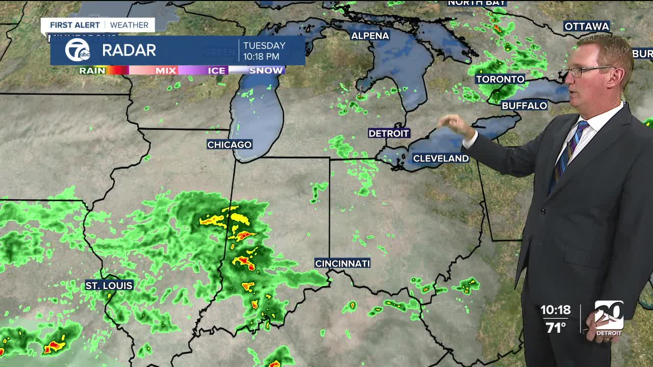
There will be a slight rain chance overnight. More fog is possible tonight into Wednesday morning. A storm system moves in Wednesday bringing heavier rain and thunderstorms. Rain and storms will continue overnight and gradually taper down in coverage Thursday. New rainfall will be around 0.5-1.5". High temperatures peak in the low to mid 70s.
Once we get to Friday the drier weather takes over and it should be a nice weekend with sunshine and highs in the 70s.
Watch the full forecast
Tonight: Mostly cloudy with patchy fog and a slight rain chance. Lows in the low to mid 60s. Winds: Calm.
Wednesday: Mostly cloudy with scattered showers and thunderstorms. There will be more in the afternoon than the morning. Highs will be in the low to mid 70s, 72° in Detroit. Winds: ENE 5-10 mph.
Thursday: Winds:Mostly cloudy with a chance of showers and storms. Highs will be in the low 30s. NW 5-10 mph.
Connect with 7 First Alert Meteorologists on Facebook and X:
Facebook: Dave Rexroth , Hally Vogel, Marisa Woloszyn, Mike Taylor
X: Dave Rexroth , Hally Vogel, Marisa Woloszyn, Mike Taylor
Current Conditions
- Humidity: 40%
- Dew point: 59°
- Pressure: 29.94 in
- Wind speed: 9 mph
- Wind direction: NNW
- Visibility: 10.0 mi
- Sunrise: 06:23 AM
- Sunset: 08:54 PM
