

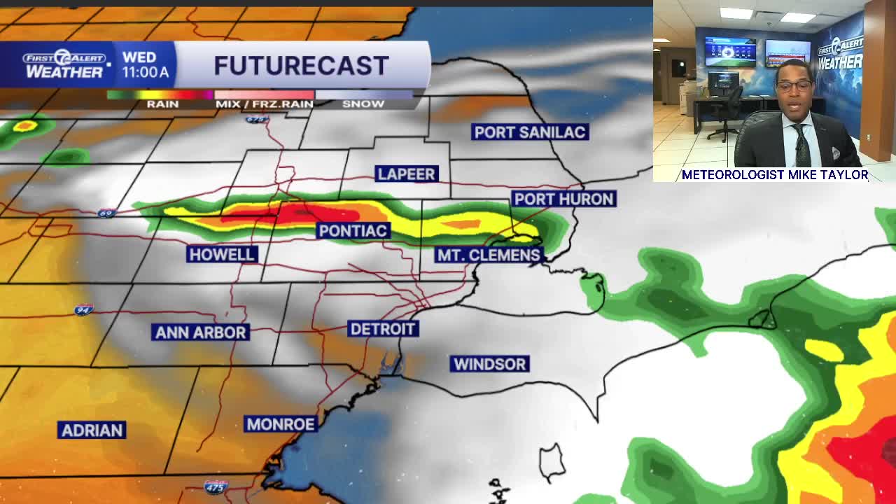


Heat and humidity increase Tuesday and Wednesday. Storms are possible late both days. Better chances for strong to severe storms come in the evening and overnight hours Tuesday & Wednesday.
Watch the forecast below
The heat turns up a notch Tuesday. We’ll start with some sunshine before clouds gradually increase during the afternoon. High temperatures climb into the low 90s across the area. With high humidity, it will feel more like the mid to upper 90s in the afternoon and early evening. A few thunderstorms are possible in the evening and they could become severe. The biggest threat will be 60 mph damaging wind gusts and isolated large hail.
Wednesday will be hot and humid with highs around 92°. Strong to severe thunderstorms are possible in the late afternoon/evening, with damaging wind gusts and 1" hail being the biggest threats again.
Storm chances continue Thursday and Friday with highs in the mid to upper 80s. The holiday weekend, including Labor Day, looks much quieter and more comfortable with partly to mostly sunny skies and highs near 80°.
Tonight: Partly to mostly cloudy with a spotty shower. Lows near 70°. Winds: SW 5-15 mph.
Tuesday: Partly sunny. Isolated strong storms possible late in the day. Highs near 90° with 92° in Detroit. Winds: WSW 5-10 mph.
Wednesday: Partly sunny with scattered strong to severe storms possible late. Highs near 90° with 92° in Detroit.
Connect with 7 First Alert Meteorologists on Facebook and X:
Facebook: Dave Rexroth , Hally Vogel, Marisa Woloszyn, Mike Taylor
X: Dave Rexroth , Hally Vogel, Marisa Woloszyn, Mike Taylor
Current Conditions
- Humidity: 40%
- Dew point: 42°
- Pressure: 30.35 in
- Wind speed: 4 mph
- Wind direction: E
- Visibility: 10.0 mi
- Sunrise: 07:52 AM
- Sunset: 06:42 PM
