

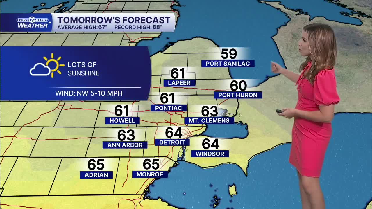


A weak cold front moves through late Sunday, bringing cooler air behind it across southeast Michigan. Temperatures will start in the mid 40s Monday morning and climb into the low to mid 60s by the afternoon. Skies will be sunny all day long with a northwest wind 5-10 mph.
Clear skies Monday night will allow temperatures to fall into the upper 30s and low 40s Tuesday morning. Areas of frost are possible mainly north and west of Detroit. Skies remain mostly sunny through the day, just a few more cloud late, with highs rebounding into the mid 60s.
Wednesday will be the warmest day of the week. Starting off near 50° in the morning, with highs climbing into the mid 70s by the afternoon. There is a slight chance for a few showers late in the day along a weak cold front. Cooler air moves in behind this front as well, dropping highs back into the upper 60s Thursday and Friday.
CHECK OUT THE FORECAST:
Tonight: Mostly clear with lows in the mid 40s. Winds: NW 5-10 mph.
Monday: Sunny with highs in the mid 60s. Winds: NW 5-10 mph.
Monday night: Mostly clear with lows in the upper 30s and low 40s. Winds: W 5 mph.
Tuesday: Mostly sunny with highs in the mid 60s. Winds: SSW 5-10 mph.
Connect with 7 First Alert Meteorologists on Facebook and X:
Facebook: Dave Rexroth , Hally Vogel, Marisa Woloszyn, Mike Taylor
X: Dave Rexroth , Hally Vogel, Marisa Woloszyn, Mike Taylor
Current Conditions
- Humidity: 73%
- Dew point: 43°
- Pressure: 30.2 in
- Wind speed: 4 mph
- Wind direction: WSW
- Visibility: 10.0 mi
- Sunrise: 07:39 AM
- Sunset: 07:00 PM
