

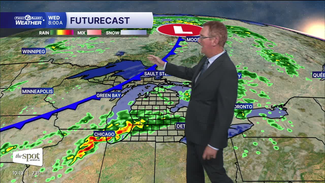


Increasing rain chances tonight. Periods of rain will move through Wednesday as well. A few thunderstorms are possible tonight and Wednesday. The best chance for a severe storm is near the Ohio border. Thunderstorm winds are the isolated threat. Temperatures stay fairly mild tonight with lows generally in the upper 60s to around 70°. Detroit falls to around 68°, with a light southerly wind at 5–10 mph. Highs Wednesday will be in the low to mid 80s with 83° in Detroit.
After the rain moves through, temperatures settle back later in the week. Thursday and Friday feature highs around 78° with partly cloudy skies. The weekend looks warmer Saturday with a high near 83°. Sunday returns to around 80° with a small rain chance mostly in the afternoon.
Tonight: Rain showers increase with some thunder possible. Lows near 70°. Winds: S 5-10 mph.
Wednesday: Showers with a few thunderstorms possible. Highs peak in the low to mid 80s with 83° in Detroit. Winds: WSW 10-25 mph.
Thursday: Partly sunny with highs in the upper 70s. Winds: WNW 5-10 mph.
Connect with 7 First Alert Meteorologists on Facebook and X:
Facebook: Dave Rexroth , Hally Vogel, Marisa Woloszyn, Mike Taylor
X: Dave Rexroth , Hally Vogel, Marisa Woloszyn, Mike Taylor
Current Conditions
- Humidity: 100%
- Dew point: 43°
- Pressure: 30.43 in
- Wind speed: 3 mph
- Wind direction: N
- Visibility: 4.0 mi
- Sunrise: 07:56 AM
- Sunset: 06:36 PM
