

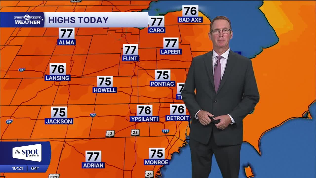


After a fairly clear evening the clouds will increase tonight and the first showers may be back by Wednesday afternoon. Temps will stay mild through Thursday in the mid 70s.
Clouds increase overnight as moisture moves in with our next storm system. Temperatures fall into the mid to upper 50s by Wednesday morning.
Wednesday starts off mostly cloudy before showers push in during the afternoon and evening. Showers will be isolated at first, but will gradually increase in the afternoon and as the evening goes on. High temperatures peak in the low to mid 70s.
Showers remain scattered as a warm front lifts through Wednesday night into Thursday. Since we'll be south of the warm front, expect highs in the mid to upper 70s by Thursday afternoon. Rain increases in coverage and intensity Thursday night into Friday morning. Lots of rain totals should be around 1". Some may be a little higher north of Detroit.
Rain is likely early Friday as the sun is coming up. Partly sunny skies return late Friday and continue through the weekend. Temperatures will be noticeably cooler and in the low to mid 60s.
Check out the forecast:
Tonight: Clouds increase. Lows in the mid to upper 50s Winds: S 5 mph.
Wednesday: Mostly cloudy with increase rain chances. Highs in the mid 70s. Winds: SSW 10 mph.
Thursday: Mostly cloudy with showers early and late. Highs will be in the mid 70s again with 77° in Detroit. Winds: SW 5-10 mph.
Connect with 7 First Alert Meteorologists on Facebook and X:
Facebook: Dave Rexroth , Hally Vogel, Marisa Woloszyn, Mike Taylor
X: Dave Rexroth , Hally Vogel, Marisa Woloszyn, Mike Taylor
Current Conditions
- Humidity: 95%
- Dew point: 58°
- Pressure: 30.0 in
- Wind speed: 6 mph
- Wind direction: ENE
- Visibility: 1.5 mi
- Sunrise: 07:41 AM
- Sunset: 06:57 PM
