

There will be more clouds than sun over the next few days, but the weather is pretty calm with seasonal temps through mid-week next week. Then it gets more interesting for the holiday.
On Thursday, a blanket of low clouds will develop as milder, moisture-rich air moves in from the southwest, overrunning the cooler air aloft and creating a shallow cloud deck with highs climbing into the upper 40s. The mostly cloudy skies remain on Friday with highs near 50° as the mild air mass continues to settle in for the weekend.
Sunshine returns Saturday with highs returning to the upper 40s. The start to the weekend looks good offering one of the brightest and calmer days of the stretch. By Sunday, a stronger push of southwesterly winds will bring the warmest temps of the 7 Day Forecast, with highs topping out in the mid 50s.
**Early call keeps this pattern intact until Thanksgiving night. That's when a wintry pattern sets-up bringing the chance for colder temps and snow through the rest of the holiday weekend**
Watch the full forecast in the video player below
Tonight: Clouds increase with lows in the upper 20s to low 30s including 33°. Winds: Light and Variable
Thursday: Mostly cloudy. Highs will climb into the upper 40s with 49° in Detroit. Winds: S 5 mph
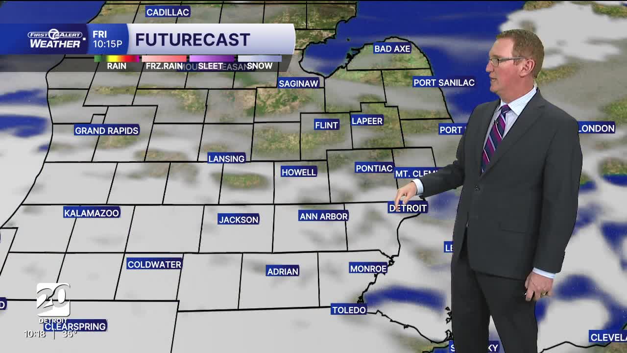
Friday: Partly to mostly cloudy with highs in the low 50s. Winds: WNW 5-10 mph.
Connect with 7 First Alert Meteorologists on Facebook and X:
Facebook: Dave Rexroth , Hally Vogel, Marisa Woloszyn, Mike Taylor
X: Dave Rexroth , Hally Vogel, Marisa Woloszyn, Mike Taylor
Current Conditions
- Humidity: 37%
- Dew point: 58°
- Pressure: 29.95 in
- Wind speed: 9 mph
- Wind direction: NW
- Visibility: 10.0 mi
- Sunrise: 06:23 AM
- Sunset: 08:54 PM
