



After a sunny and warm Saturday with highs climbing into the upper 80s, near 90°, we're in for a quiet and cool night. Skies will be mostly clear with lows in the mid 50s to low 60s.
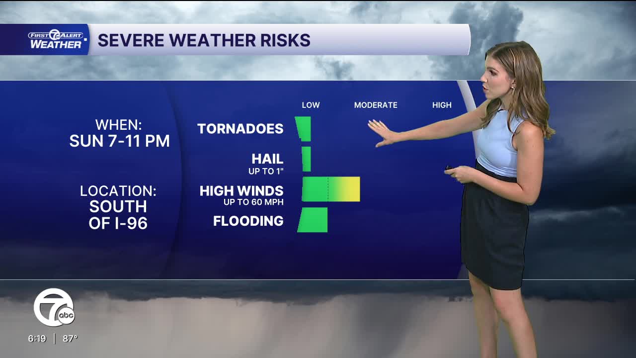
Sunday starts off sunny before clouds begin to increase during the afternoon. High temperatures peak in the low to mid 80s across the area. Storms will develop to our west and move in our direction early Sunday evening. There is a chance the storms slide to our south, but if they do move into southeast Michigan we could be looking at strong to severe thunderstorms, mainly after 8 p.m. These storms will bring a threat of damaging wind gusts near 60 mph.
Check out the forecast:
Rounds of storms will continue into Monday, with a better chance for severe storms across southeast Michigan. Damaging wind gusts will be the biggest threat, yet again, but all severe threats are possible. Showers and storms will continue into Tuesday and Wednesday, although strength and coverage will be less. Temperatures all three days will be int he low to mid 80s.
Cooler and calmer weather is expected by the end of the week.
Tonight: Clear with lows in the mid 50s to low 60s. Winds: WNW 5-10 mph
Sunday: Mostly sunny. Storms near sunset. Highs in the low to mid 80s. Winds: SW 5-10 mph.
Sunday Night: Strong to severe storms possible. Lows in the mid to upper 60s.
Monday: Strong to severe storms possible. Highs in the low to mid 80s.
Connect with 7 First Alert Meteorologists on Facebook and X:
Facebook: Dave Rexroth , Hally Vogel, Marisa Woloszyn, Mike Taylor
X: Dave Rexroth , Hally Vogel, Marisa Woloszyn, Mike Taylor
Current Conditions
- Humidity: 79%
- Dew point: 44°
- Pressure: 30.25 in
- Wind speed: 9 mph
- Wind direction: NE
- Visibility: 10.0 mi
- Sunrise: 07:20 AM
- Sunset: 07:30 PM
