

Watch the forecast below
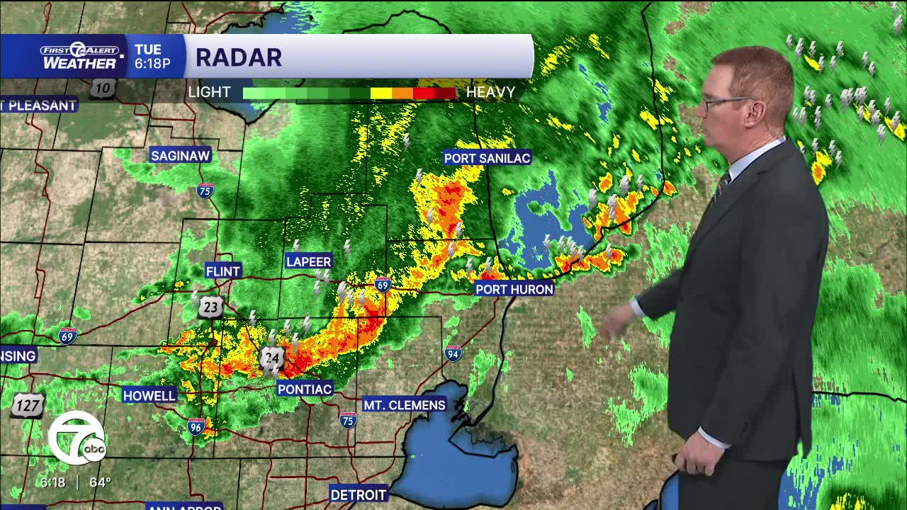
A few more storms could move through this evening with strong wind and some hail. An isolated tornado and flooding are much less likely. It will be much cooler Wednesday behind this system!
Tonight showers and storms exit, most by 10 PM, and cooler air settles in. Temperatures drop sharply into the 30s by morning, with most spots around 34–38 degrees under a northeast breeze. Clouds linger into tomorrow, and it looks like a gray, cool day overall with highs struggling to reach around 40 degrees. There will be some sun north of Detroit, especially late in the day. The rain chance will be slight south of I-94.
The extended outlook keeps things active to start—another round of showers and storms is possible Friday into Saturday—before a noticeable cool down arrives Sunday with highs dipping back into the upper 40s.
Tonight: Showers and storms move out with falling temps. Lows near 39° in Detroit. Winds: N 10-15 mph.
Wednesday: Mostly cloudy with rain possible south of I-94. A little late day sun will happen north of Detroit. Highs in the low to mid 40s around Metro Detroit with a NNE wind at 10-15 mph.
Thursday: A slight rain chance under mostly cloudy skies. Highs: Near 70°. Winds: SE 10-20 mph.
Connect with 7 First Alert Meteorologists on Facebook and X:
Facebook: Dave Rexroth , Hally Vogel, Marisa Woloszyn, Mike Taylor
X: Dave Rexroth , Hally Vogel, Marisa Woloszyn, Mike Taylor
Current Conditions
- Humidity: 87%
- Dew point: 72°
- Pressure: 29.95 in
- Wind speed: 3 mph
- Wind direction: S
- Visibility: 10.0 mi
- Sunrise: 05:59 AM
- Sunset: 09:14 PM
