

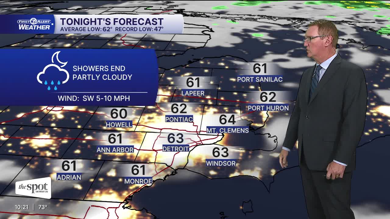


Thursday will be partly sunny with an isolated afternoon shower possible. The most likely area impacted will be north of Detroit. Highs will climb into the low 80s.
Watch the forecast below
Getting drier
Friday and Saturday will be dry and pleasant, with highs near 80°. Temperatures climb again late in the weekend and eventually to near 90° by early next week.
Thursday: Partly sunny with a slight afternoon shower or storm chance. Highs in the low 80s. Winds: NW 10 mph.
Friday: Mostly sunny with highs near 80°. Winds: NNE 5-10 mph.
Connect with 7 First Alert Meteorologists on Facebook and X:
Facebook: Dave Rexroth , Hally Vogel, Marisa Woloszyn, Mike Taylor
X: Dave Rexroth , Hally Vogel, Marisa Woloszyn, Mike Taylor
Current Conditions
- Humidity: 69%
- Dew point: 61°
- Pressure: 29.8 in
- Wind speed: 7 mph
- Wind direction: SSW
- Visibility: 10.0 mi
- Sunrise: 07:42 AM
- Sunset: 06:55 PM
