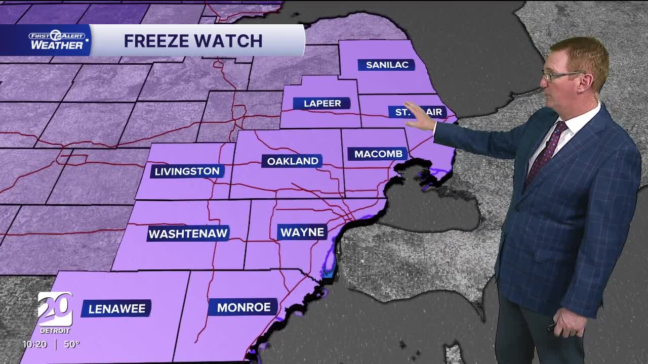


Rain moves through the south overnight. Frost is possible Friday morning north of Detroit and Saturday morning could be below freezing in spots. There is a freeze watch for all of us Friday night.
Watch the forecast below
Our coldest temperatures happen Friday and Saturday mornings with lows in the low to mid 30s. Frost is possible both mornings, but some freezing temps are possible Saturday morning. Plan to protect any sensitive vegetation. Sunday will hit 60°, but the morning will start in the 30s again before that happens. Warmer temperatures return next week along with rain and storm chances.
Tonight: Mostly cloudy with showers south and patchy frost possible north of Detroit. Lows in the mid to upper 30s. Winds: Light
Friday: Partly sunny with an afternoon shower chance. Highs will be in the low 50s. Winds: NW 10 mph.
Friday Night: A freeze watch will be in effect for all of us as temps drop to 29° to 34°. It should be a dry night with winds of 5 mph from the north.
Saturday: Partly sunny skies with highs in the mid 50s. Winds: NNW 5-10 mph.
Connect with 7 First Alert Meteorologists on Facebook and X:
Facebook: Dave Rexroth , Hally Vogel, Marisa Woloszyn, Mike Taylor
X: Dave Rexroth , Hally Vogel, Marisa Woloszyn, Mike Taylor
Current Conditions
- Humidity: 42%
- Dew point: 59°
- Pressure: 29.98 in
- Wind speed: 10 mph
- Wind direction: N
- Visibility: 10.0 mi
- Sunrise: 06:23 AM
- Sunset: 08:54 PM
