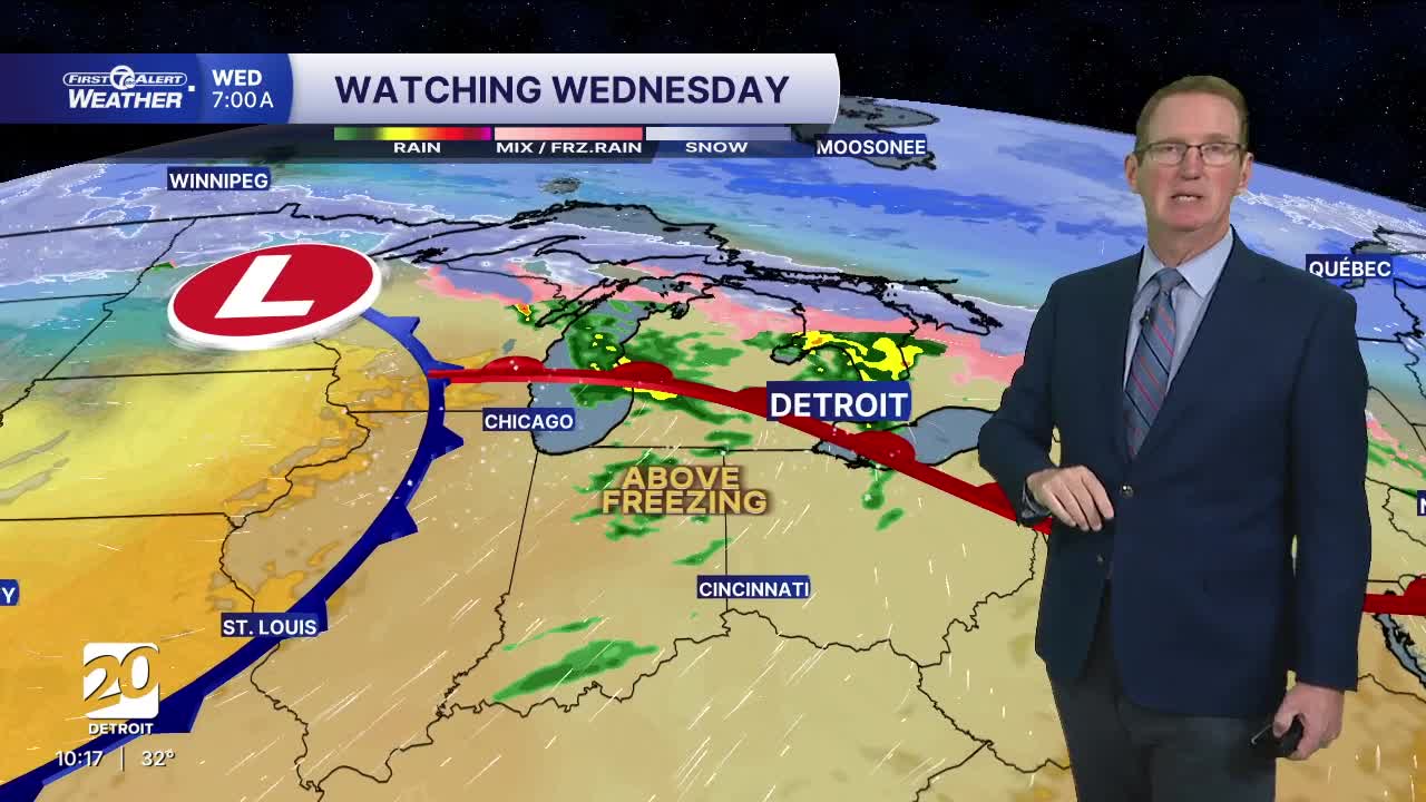


Highs will be in the 40s and 50s this week. The most interesting day will be Wednesday with some rain. It looks like icy areas will be in the Saginaw Valley and tip of the thumb and north of there.
Early next week continues the mild push, by February standards. Monday will be partly sunny and highs reach the low 40s and Tuesday pushes into the mid 40s with mostly cloudy skies. By midweek, we’re looking at the warmest stretch in the upper 40s/ low 50 degrees, though a chance of showers Tuesday night and Wednesday develops as the milder air settles in. In the morning Wednesday as that system gets started there may be a slippery mix, but only off to the north in the Saginaw Valley and the tip of the thumb. There could be some flakes mixed in with rain showers as temps drop again by Friday.
See the full forecast in the video below
Tonight: Clear to partly cloudy with fog possible late. If you run into fog temps will likely be below freezing so slippery roads could become a problem. Lows in the mid to upper 20s. Winds: light
Moday: Partly sunny after some early low clouds and possible fog. Temps warm quickly with highs reaching the mid to upper 40s again. Winds: SSW 10-20 mph.
Tuesday: Mostly cloudy with highs in the mid 40s, with 45° in Detroit. Winds: S 5-15 mph.
Connect with 7 First Alert Meteorologists on Facebook and X:
Facebook: Dave Rexroth , Hally Vogel, Marisa Woloszyn, Mike Taylor
X: Dave Rexroth , Hally Vogel, Marisa Woloszyn, Mike Taylor
Current Conditions
- Humidity: 39%
- Dew point: 59°
- Pressure: 29.96 in
- Wind speed: 11 mph
- Wind direction: NNW
- Visibility: 10.0 mi
- Sunrise: 06:23 AM
- Sunset: 08:54 PM
