



The Labor Day holiday weekend ends with more sunshine and highs in the mid to upper 70s. High pressure will keep our skies dry, with just increasing high clouds through the day.
CHECK OUT THE FULL FORECAST:
Cloud gradually increase Tuesday, but the weather remains dry with morning temperatures in the mid to upper 50s and afternoon highs in the low 80s.
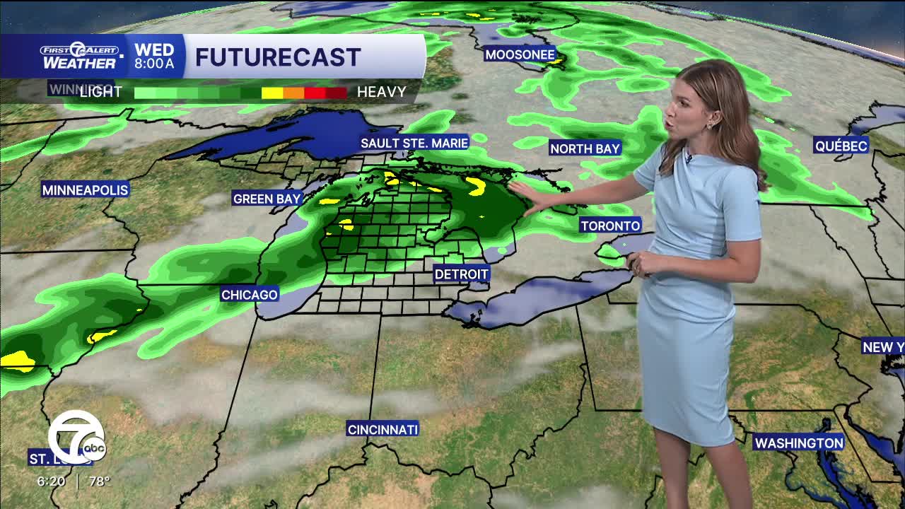
A low pressure system will slide to our north Wednesday, but the trailing cold front will bring a chance for rain, a possibly a few thunderstorms, across the area. Wednesday will start off mild and in the upper 60s. Breezy southwest winds will push temperatures quickly into the low 80s before rain arrives along the cold front in the afternoon.
Temperatures return to averages to round of the week with highs in the upper 70s Thursday and Friday. Skies will be mostly to partly sunny both days. Next weekend will likely be dry with highs closer to 80°.
Tonight: Mostly clear with lows in the mid to upper 50s. Winds: NE 5-10 mph.
Monday, Labor Day: Mostly sunny with highs in the upper 70s. Winds: E 5-10 mph.
Tuesday: Partly sunny with highs in the low 80s. Winds: SSE 5-10 mph.
Connect with 7 First Alert Meteorologists on Facebook and X:
Facebook: Dave Rexroth , Hally Vogel, Marisa Woloszyn, Mike Taylor
X: Dave Rexroth , Hally Vogel, Marisa Woloszyn, Mike Taylor
Current Conditions
- Humidity: 41%
- Dew point: 43°
- Pressure: 30.36 in
- Wind speed: 3 mph
- Wind direction: ESE
- Visibility: 10.0 mi
- Sunrise: 07:52 AM
- Sunset: 06:42 PM
