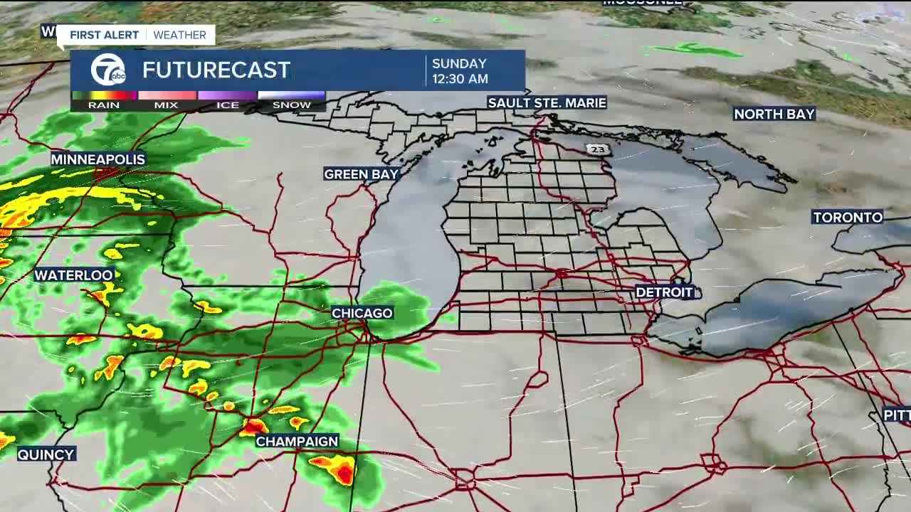


Heavy rain is back in the forecast, closing out the weekend with up to 2" of rain or more by Monday afternoon.
The concern for flooding is directly related to the saturated ground in place from recent rainfall and the potential for the totals shown above. The consistency of this rain will be off and on over a 48 hour period. Depending on how the low pressure approaches Michigan will determine our impacts, and the latest trends are showing the highest flooding potential just west of Metro Detroit.
Storms Could Enhance the Threat
We also have a risk of embedded storms in the afternoon and evening on Sunday, which could reach severe levels. These storms will have a good amount of moisture available to tap into leading to heavy downpours, hail & damaging winds. Luckily this is a low confidence scenario since it is highly dependent on the warm front associated with the low pressure. These fronts are very tricky to forecast around Michigan and usually fall just shy of Metro Detroit when there's a persistent easterly wind off the lakes, which we'll have tomorrow.
Despite this, the Storm Prediction Center has the southern sections of metro Detroit under a Level 1 - Marginal Risk of severe weather. This means that a few of the storms could briefly turn severe near this front. If the front stays south then our severe risk will be reduced.
Detroit weather 7-day forecast
Connect with 7 First Alert Meteorologists on Facebook and Twitter:
Facebook: Dave Rexroth , Hally Vogel , Kevin Jeanes , Mike Taylor
Twitter: Dave Rexroth , Hally Vogel , Kevin Jeanes , Mike Taylor
