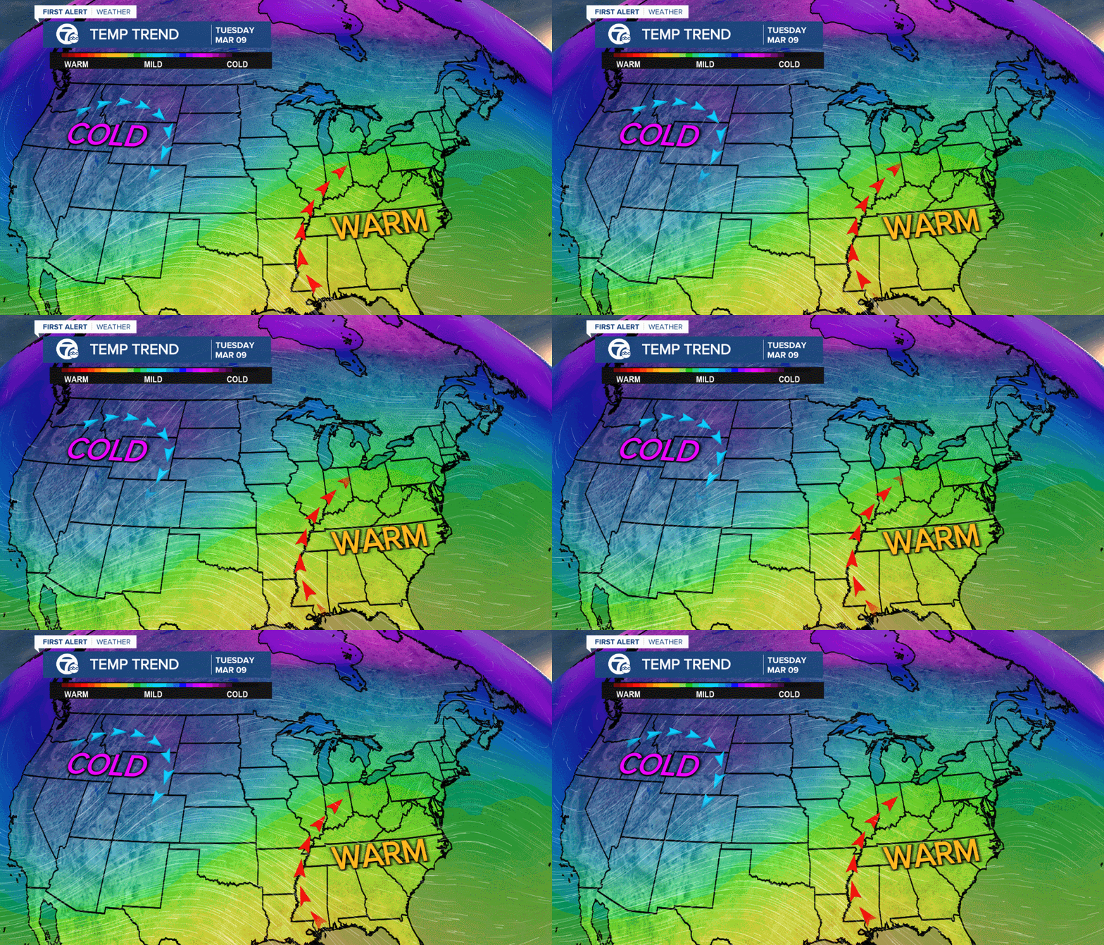
(WXYZ) — A ridge of high pressure is poised to build across the southeastern U.S. around the middle of next week as cold air moves south across the Rockies and western U.S.

This setup would allow temperatures to climb into the 60s as early as Tuesday (March 9th) across metro Detroit. A southwest wind would continue to keep temperatures well-above average for a few days before the ridge breaks down and colder air moves back over the Great Lakes.
The Climate Prediction Center has lower Michigan, Illinois and Indiana in a "bulls eye" warm sector, with a 70% chance of above average temperatures March 9th to March 15th.

The map above doesn't indicate how warm it will get; only the probability of above-average temperatures. However, the higher chance of above-average temps usually equates to a warmer forecast. Just keep in mind the average highs around southeast Michigan are around 43° next week.

Above is our forecast through this weekend, and below is the GEFS (Global Ensemble Forecast System) forecast model of highs and lows through March 17th.

Long-range models aren't very useful for accurate details beyond 7 days, but they do show us large-scale patterns. This means the temperatures won't be exact, but a good warm up is likely.
If the ridge strengthens enough, temperatures could be in the mid 60s around the middle of next week. Stay tuned.

