Metro Detroit's first shot at a decent snow storm is here but more details need to be ironed out as we get closer.
Synopsis:
Temps will finally warm up to kick off the work week with highs going above 32° for the first time in nearly two weeks. Ironically, while this warm up is happening a powerful Winter storm will be taking shape.
This storm will make landfall on the Pacific Northwest Coast this Monday. Once this happens, our weather balloons will get a better sampling of the atmosphere and the storm, which will increase the accuracy and reliability of the forecast. This will also assist in answering the most crucial parts of the forecast including the position of a strong area of high pressure northwest of Michigan. This will determine the track of the heaviest snow banding where 12"+ is possible.
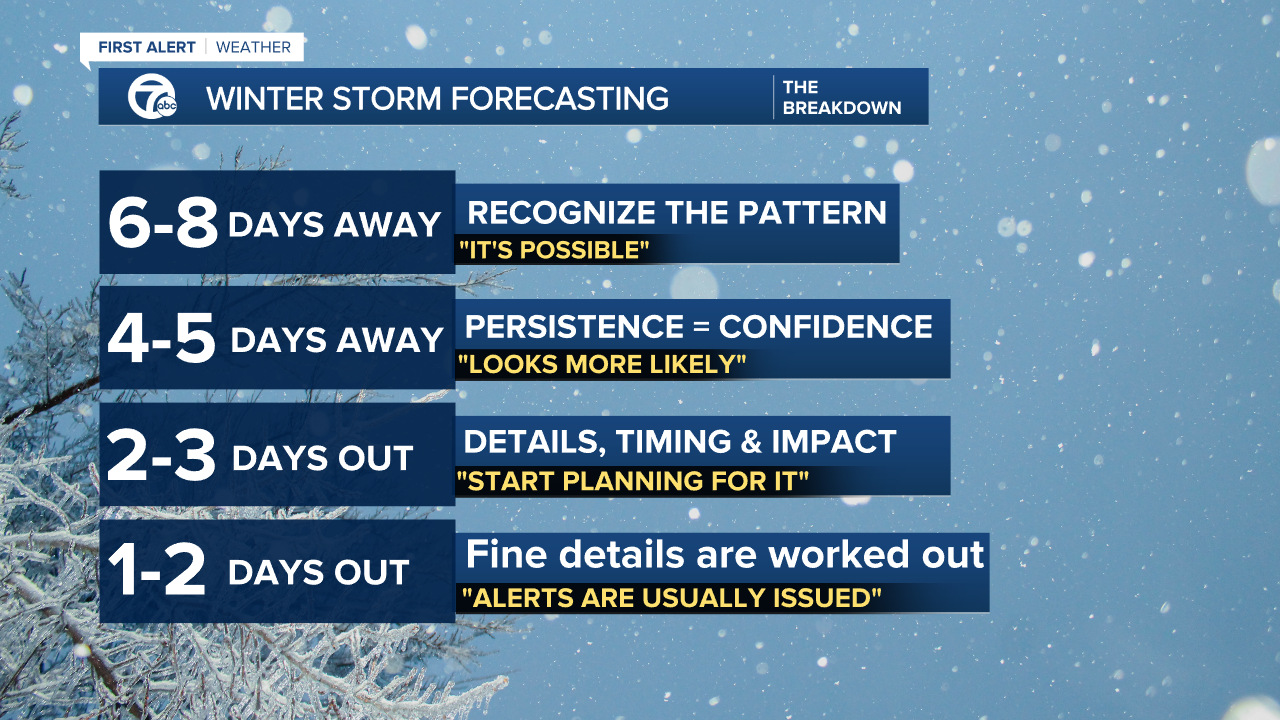
At the time of writing this article we are in the second stage of Winter Storm forecasting - 4-5 Days Out. During this stage we can see the storm coming but the details are still out of reach. That will change Monday night.

What We Know
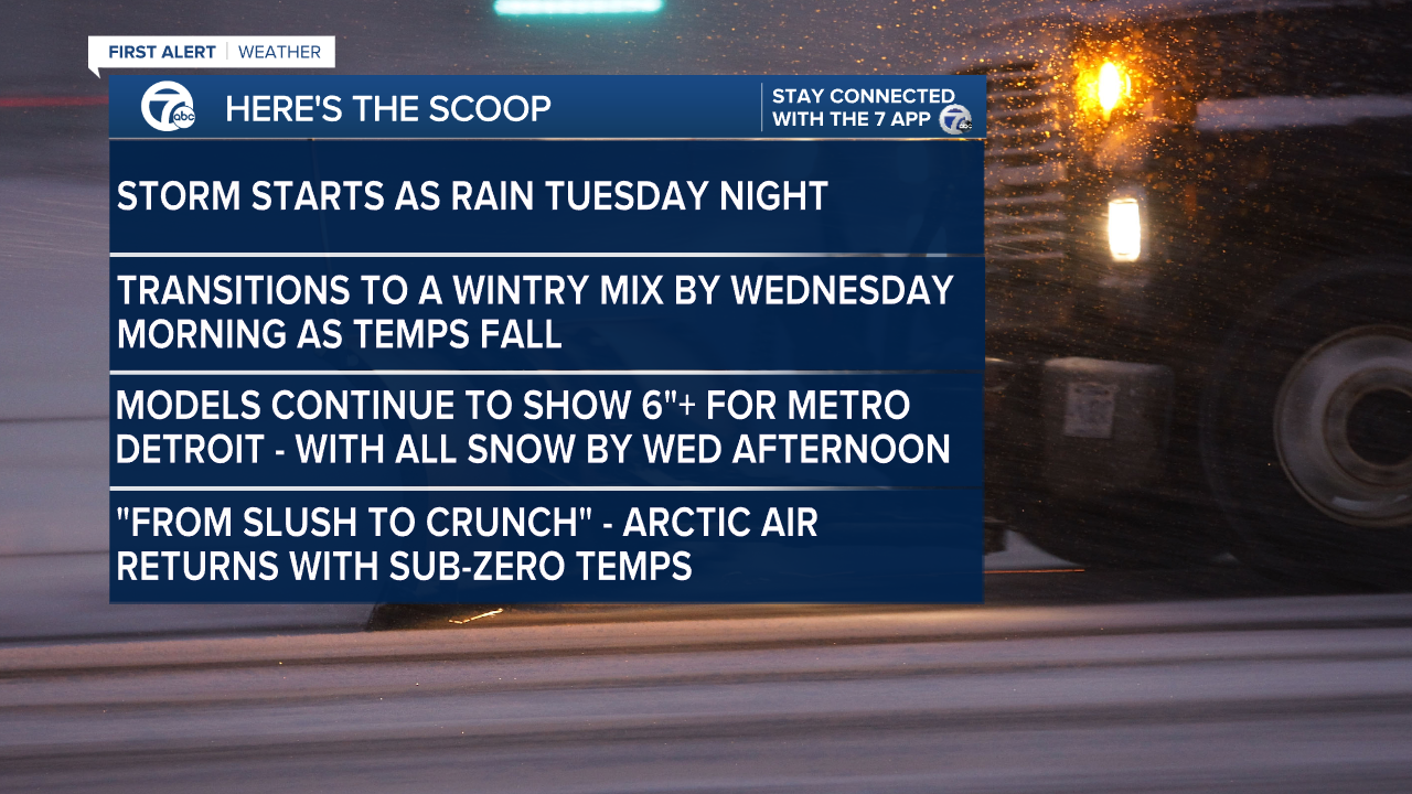
This storm could be one of the biggest for Detroit! Every forecast model has displayed impressive snow totals. If this is the case Monday night and the position of the steering high pressure calls for it - confidence will be high for a historic snowfall in Detroit. Several models have shown snow totals over 12"+, which is why we're seeing all of the hype around the storm. The set-up supports the unusually high snow amounts and I don't believe the models are over doing it. Where it falls is what's unknown.


Detroit weather 7-day forecast
Connect with 7 First Alert Meteorologists on Facebook and Twitter:
Facebook: Dave Rexroth , Hally Vogel , Kevin Jeanes , Mike Taylor
Twitter: Dave Rexroth , Hally Vogel , Kevin Jeanes , Mike Taylor


