


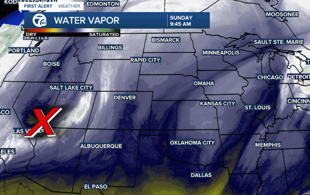
After a dry and mild start to January the pattern is shifting in favor of Winter. We're already focused on another storm near the west coast moving south while gaining strength & moisture. This system will be heading this bringing heavy snow for the middle of the week.
Wednesday is the day
This storm arrives Tuesday night with impacts beginning as early as Wednesday morning for areas along and south of I-94. Once the snow begins, it'll be heavy and steady at times through the afternoon and evening. Conditions are not expected to improve until Thursday morning.

The snow forecast is within the 3" - 5" range based on the current track and temperature profiles of the atmosphere. Exceeding these amounts are possible south of M-59 and additional clarity is expected as we get closer.

We'll keep you up to date on the storm.
Connect with 7 First Alert Meteorologists on Facebook and Twitter:
Facebook: Dave Rexroth , Hally Vogel , Kevin Jeanes
Twitter: Dave Rexroth , Hally Vogel , Kevin Jeanes
