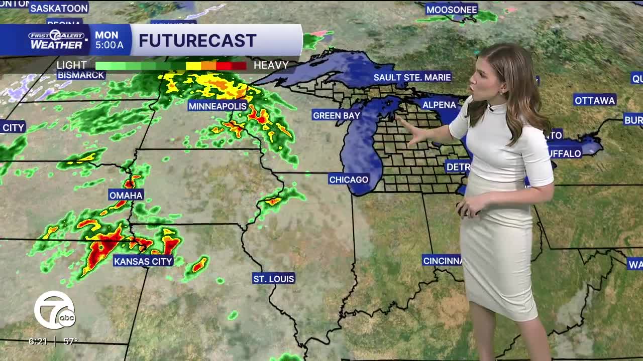


Temperatures warm Monday, with highs near 70°. With that comes the chance for showers and storms, mainly Monday night into Tuesday morning. Severe weather is not expected at this time, but keep an eye on the forecast for any changes. Temperatures begin to drop back down starting Tuesday, with highs in the mid to upper 60s.
A few more rain showers move through Wednesday as a storm system slides to our southeast. High temperatures peak in the mid to upper 50s.
The rest of the week and into the weekend will be fairly quiet with highs in the mid to upper 50s and overnight lows in the mid 30s to near 40°.
Tonight: Mostly clear. Lows in the low to mid 40s. Winds: E 5-10 mph.
Monday: Increase clouds. Storm chance late. Highs in the upper 60s, near 70°. Winds: SE 10-20 mph.
Tuesday: AM showers, then cloudy. Highs in the mid to upper 60s.
Connect with 7 First Alert Meteorologists on Facebook and X:
Facebook: Dave Rexroth , Hally Vogel, Marisa Woloszyn, Mike Taylor
X: Dave Rexroth , Hally Vogel, Marisa Woloszyn, Mike Taylor
Current Conditions
- Humidity: 87%
- Dew point: 72°
- Pressure: 29.96 in
- Wind speed: 3 mph
- Wind direction: S
- Visibility: 10.0 mi
- Sunrise: 05:59 AM
- Sunset: 09:14 PM
