

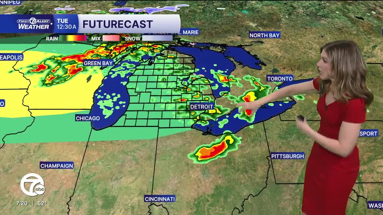


After a sunny, spring-like day across southeast Michigan, the weather is about to change. Warmer temperatures and an active weather patter starts Sunday and continues through the end of next week.
Rain showers with a few rumbles of thunder move in early Sunday morning. No severe weather is expected and rainfall will be up to 1/4". Behind the rain, drier weather returns for the afternoon as winds pick up and warmer air moves in. Highs climb into the low to mid 70s across southeast Michigan, with southwest winds 10-15 mph, gusts 25 mph.
High temperatures stay in the 70s next week, even pushing 80° by Wednesday. Rounds of rain and thunderstorms are expected as a series of storm systems move through. Severe weather is possible Monday night into early Tuesday morning and again late Tuesday afternoon into Tuesday night. Please pr
Tonight: Increasing clouds. Lows around 40°. Winds: SE 5-10 mph.
Sunday: Showers and storms move early, then mostly cloudy. Highs in the low to mid 70s. Winds: SW 10-15 G25 mph.
Monday: Showers and storms. Highs in the low to mid 70s. Winds: SW 10-15 mph.
Connect with 7 First Alert Meteorologists on Facebook and X:
Facebook: Dave Rexroth , Hally Vogel, Marisa Woloszyn, Mike Taylor
X: Dave Rexroth , Hally Vogel, Marisa Woloszyn, Mike Taylor
Current Conditions
- Humidity: 96%
- Dew point: 62°
- Pressure: 29.92 in
- Wind speed: 2 mph
- Wind direction: NE
- Visibility: 10.0 mi
- Sunrise: 07:09 AM
- Sunset: 07:48 PM
