

Temperatures will fall to near 31° just after midnight before slowly climbing into Wednesday. Winds will be breezy overnight out of the southwest 15-25 mph.
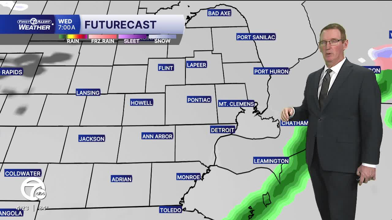
Wednesday will start off cloudy with a chance for some light rain between 4-7 a.m. A few communities may be below freezing, so there is a slight chance for some icing. Skies become partly sunny into the afternoon with highs near 40°.
Thursday is the standout day in the stretch for Metro Detroit, bringing milder temperatures and widespread rain. We’ll start the day on the cool side, but southerly flow helps temperatures climb steadily into the upper 40s by the early afternoon. Skies stay mostly cloudy through the day with spotty showers. Heavier rain moves in during the evening. Rainfall will be around 0.25-0.50"
Friday brings a sharp shift with gusty winds and falling temps. Expect mostly cloudy skies and light snow showers. Snow accumulation will be minimal, but there still could be a few slick spots on the roads. High temperatures peak in the upper 20s and low 30s.
Check out the full forecast
Tonight: Increasing clouds with a slight light rain chance as a weak cold front moves through. Lows in the low 30s. Winds: SW 15-25 mph
Wednesday: Slight shower chance early before sunrise, then partly sunny. Highs near 40°. Winds: WSW 10-20 mph.
Thursday: Mostly cloudy, rain increasing. The heaviest rain will come in the evening. Highs in the mid to upper 40s with 47° in Detroit. Winds: SSW 15-30 mph.
Connect with 7 First Alert Meteorologists on Facebook and X:
Facebook: Dave Rexroth , Hally Vogel, Marisa Woloszyn, Mike Taylor
X: Dave Rexroth , Hally Vogel, Marisa Woloszyn, Mike Taylor
Current Conditions
- Humidity: 37%
- Dew point: 58°
- Pressure: 29.95 in
- Wind speed: 9 mph
- Wind direction: NW
- Visibility: 10.0 mi
- Sunrise: 06:23 AM
- Sunset: 08:54 PM
