

Rain moves in after midnight Sunday night, with around 1/4" expected. A few rumbles of thunder are also possible, but severe weather is not expected.
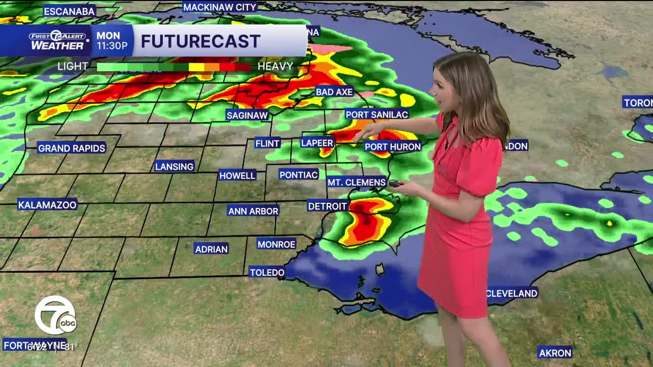
Monday starts of cloudy with a few spotty showers and temperatures in the low 60s. Skies gradually clear by the afternoon as temperatures climb into the mid to upper 70s. Strong to severe storms are possible after 8 p.m. Large hail (1"+) and damaging wind gusts (60+ mph) are possible. Plan now for ways to receive weather alerts and know where to go if severe weather occurs.
Strong to severe storms are possible again late Tuesday with large hail, damaging wind gusts, an isolated tornado, and flooding all possible. A lot of moisture is available with dew points in the low to mid 60s, plus heat as highs climb into the upper 70s to low 80s.
More showers and storms are expected Wednesday and Thursday as temperatures remain well above average and in the low to mid 70s.
Tonight: Rain. Possible rumble of thunder. Lows in the low 60s. Winds: SW 10-15 G30 mph.
Monday: Clouds early with a stray shower. Mostly sunny afternoon. Storms near sunset. Highs in the mid to upper 70s. Winds: WSW 10-15 G25 mph.
Tuesday: Showers and storms possible. Highs in the upper 70s to low 80s.
Connect with 7 First Alert Meteorologists on Facebook and X:
Facebook: Dave Rexroth , Hally Vogel, Marisa Woloszyn, Mike Taylor
X: Dave Rexroth , Hally Vogel, Marisa Woloszyn, Mike Taylor
Current Conditions
- Humidity: 87%
- Dew point: 72°
- Pressure: 29.95 in
- Wind speed: 3 mph
- Wind direction: S
- Visibility: 10.0 mi
- Sunrise: 05:59 AM
- Sunset: 09:14 PM
