

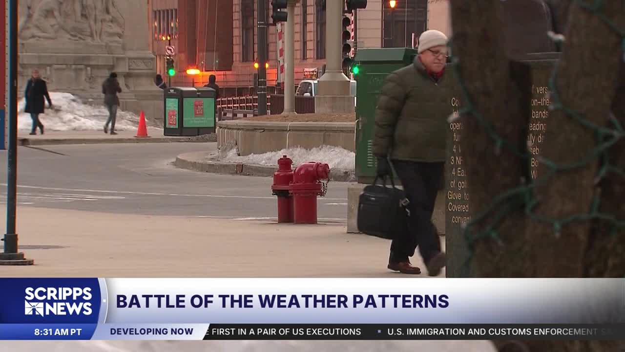


A change in the polar vortex could negate what we’ve been hearing about a warmer El Niño winter.
Scientists say the system of winds that usually keeps Arctic air near the North Pole has broken down earlier than ever recorded. That could allow frigid air to spill south in the coming weeks.
Parts of the eastern U.S. are already experiencing temperatures 7 to 14 degrees below average.
RELATED STORY | El Niño is here and scientists fear it'll be big, bad and costly
But the historically strong El Niño we’ve been anticipating could counteract the cold. Forecasters say it’s too early to know which weather pattern will dominate.
The polar vortex is a regular feature of Earth's polar latitudes. It is a concentration of cold air and low pressure that is usually kept relatively close to the north and south poles.
El Niño is part of a climate cycle in which waters in the equatorial Pacific Ocean become warmer than average. Sea surface temperatures in the region where El Niño develops are expected to be 2.5 degrees Celsius above normal.
RELATED STORY | Study: Super-sized El Niño could cause more than 450,000 heat deaths by February
Historically, El Niño brings wetter conditions to the southern United States and drier weather to the North. It also tends to produce milder winters across much of the country and is known for strengthening upper-level winds in the Atlantic, making it harder for hurricanes to form.
